
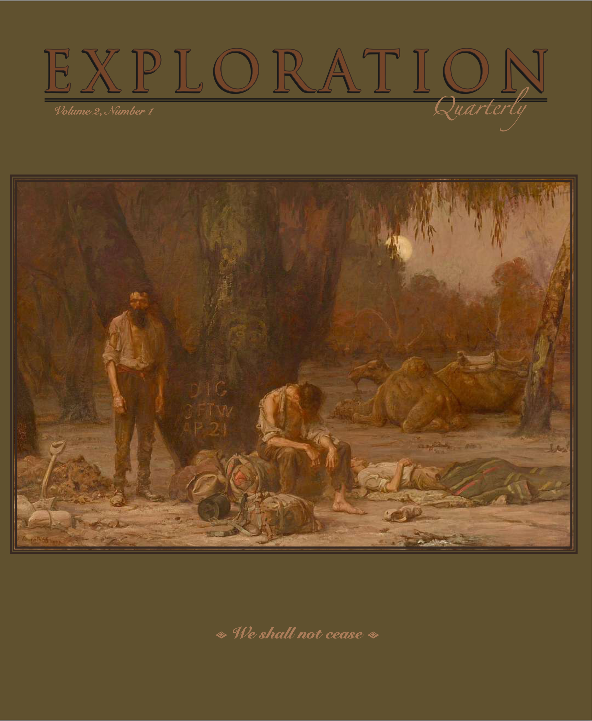
“We shall not cease from exploration
And the end of all our exploring
Will be to arrive where we started
And know the place for the first time.” – T.S. Eliot
Exploration Quarterly
A magazine
for those who do not cease
to BE CURIOUS . . .
to LEARN . . .
to EXPLORE . . .

Each year our Explorers receive:
Two beautiful perfect-bound print issues
Two digital issues including video and long-form articles
PLUS
Access to exclusive events for subscribers, including annual Exploration Quarterly Subscriber Field Camps (at extra cost).
Exploration Departments:
Victualling
Field Arts – Journal shares, tutorials, projects, and tools
Arts & Letters – Book reviews
Equipment Reviews
Vehicle Features – Cars, bikes, boats, motorcycles, aircraft
White Papers – Consumer education guides
Skills – How-To Clinics . . . and much more
Expeditions, Historic & Modern
Overland and Travel Adventures
Explorers of Note
Classic Kit
Artifact
Cartographia
Bestiary
Come explore with us.
New subscribers: next issue drop is January (see schedule below).
You may order individual copies of Vol. 1 No. 1, Vol. 1 No. 3, and Vol. 2 No. 1.
NEW FORMAT: All digital flip-books of the magazine can be downloaded / read offline (excluding videos, which will remain online only).
Publication schedule:
July (print issue with digital version)
October (all-digital flip-book version with videos)
January (print issue with digital version)
April (all-digital flip-book version with videos)
Two beautiful 112+ page printed issues by mail every year (USA postage included in this pricing package) PLUS everything listed in the Digital Issues package. We deliver issues in July, October, January, and April. >>>NEW: Beginning 2025 all content will be able to be downloaded and read offline.
This package includes two online versions of the print magazine in a flip-format with live links to references and products, as well as two online-content-only issues with video, interviews and much more. We deliver issues in July, October, January, and April. >>>>NEW: Beginning 2025 all content will be able to be downloaded and read offline.
Two beautiful 112+ page printed issues by mail every year (for INTERNATIONAL DELIVERY; postage included in this pricing package) PLUS everything listed in the Digital Issues package. We deliver issues in July, October, January, and April. >>>>NEW: Beginning 2025 all content will be able to be downloaded and read offline.
Sample Content (Partial Articles)
from Volume 2, Number 2 —all-digital issue, in an online digital Flipbook, which can be downloaded as a PDF; videos won’t download (October 2025 publication date)
Expedition: True Source
Biogeographer Janet Rith-Najarian shares her adventures as a documentary filmmaker recreating the search for the true headwaters of the Mississippi River.
Field Arts: Perfectly Portable Field Arts Studios
A survey of lovely pochade boxes
Cartographia: The Dawn of Science Info-Graphics
Artifact: The Original Roll-up Table
Overland Adventure: Grace Under Gravel
Lisa Morris and Jason Spafford share their 20+ years exploring the world on four wheels and two
Vehicle Review: 18 Months with an ENEOS Grenadier
Field Arts Journal and Field Bag Share
Artist and full-time overlander Lisa Spangler
Equipment: Multi-tool Test
Sample Content (Partial Articles)
from Volume 2, Number 1 —print issue with a companion online digital Flipbook, which can be downloaded as PDF; videos won’t download (July 2025 publication date)
Subscribe by June 25 to get on this mailing!):

Expedition: Fight for Flight
British conservation ecologist and artist Heather Xing-Xing Fortune shares her yearlong journey at six field stations around the world learning about and assisting in avian conservation.
Field Arts Tools: A Test of 9 Waterbrushes
The winners will surprise you.
Bestiary: Respect for Snakes
Skills: Radio Communications for Overlanders
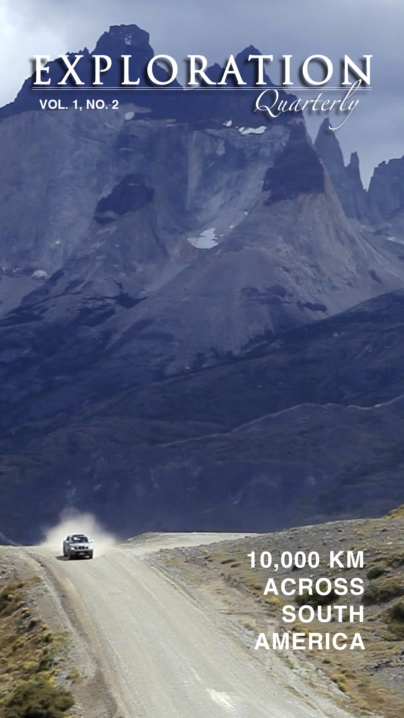
Overland Adventure: Crossing the Red Center
560 miles, 1,138 sand dunes, 2 untested Land Cruisers
Field Arts Journal and Field Bag Share
Michael Boardman shares his field kit and journal pages, and we talk about his lifelong commitment to conservation.
Classic Kit: Portable Stove History
Victualling: Braai the Beloved Cookery (just don’t call it barbecue)
Artifact: Ground Zero Australia
Sample Content (Partial Articles)
from Volume 1, Number 4 —all-digital issue which can be downloaded as PDF; videos won’t download (April 2025 publication date):

Expedition: Africa’s Pole of Inaccessibility: A Journey to the Heart of Nowhere
British explorer Chris Brown shares the tale—with a pinch of classic British droll humor—of his exceedingly mad expedition into one of the most dangerous places on the planet to claim a unique geographical waypoint. Survival was not in the top-ten certainties.
Field Arts Feature: “There are those who follow maps, and those who make them.” – Alberto Villoldo (anthropologist) Become the Maker—A tutorial for explorer-cartographers
In-Depth Vehicle Field Test:
2024 Toyota Tacoma TRD Off-Road
Equipped: Best Cargo Containers
Arts and Letters: Larking About in Land Rovers by Toby Savage
Skills: Pre-Drive Checks by Graham Jackson
Field Arts Journal and Field Bag Share – NEW!
Each issue we will feature a nature journaler / field sketcher from our community and explore their journals (you will be able to virtually flip through their pages), their journey as a field artist, and get a peek into what they carry in their field bag. In this issue: Tiffany Branscombe Levy shares her unique style using a flexible journal format, creative layouts, and multi-media, including photos from a tiny portable printer.
Field Arts Tools: A Tale of Two Iconic Notebooks—Myth and Romance vs. Life and Love
Discovered whilst researching the pocket notebook most useful for field arts
Classic Kit: The Coonskin Hat
Victualling: Innovations in Cooking Gear
Sample Content (Partial Articles)
from Volume 1, Number 3 — Print Issue (January 2025 publication date):

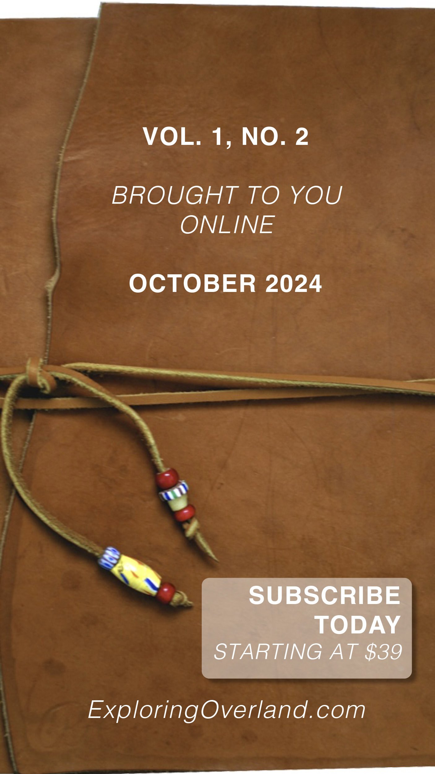
Content from Volume 1, Number 2
(October 2024 publication date, all-online):
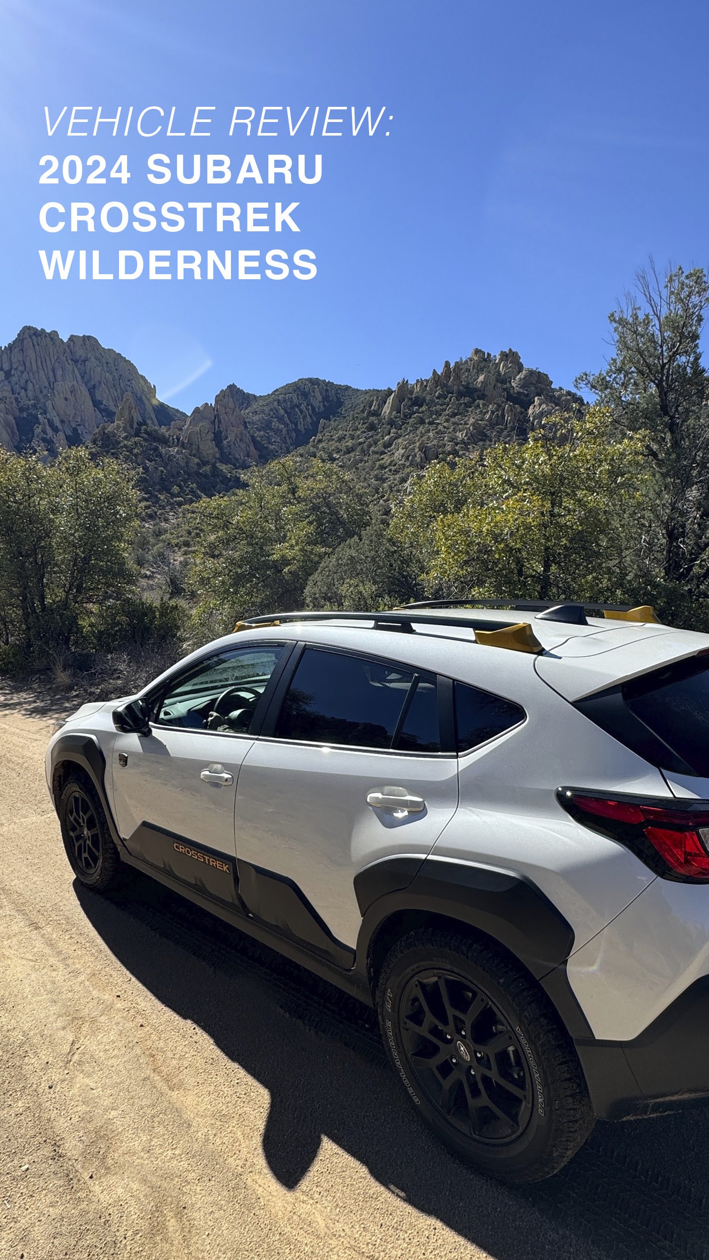
Vehicle Field Tests:
2024 Subaru Crosstrek Wilderness—a capable overlander and perfect field arts vehicle.
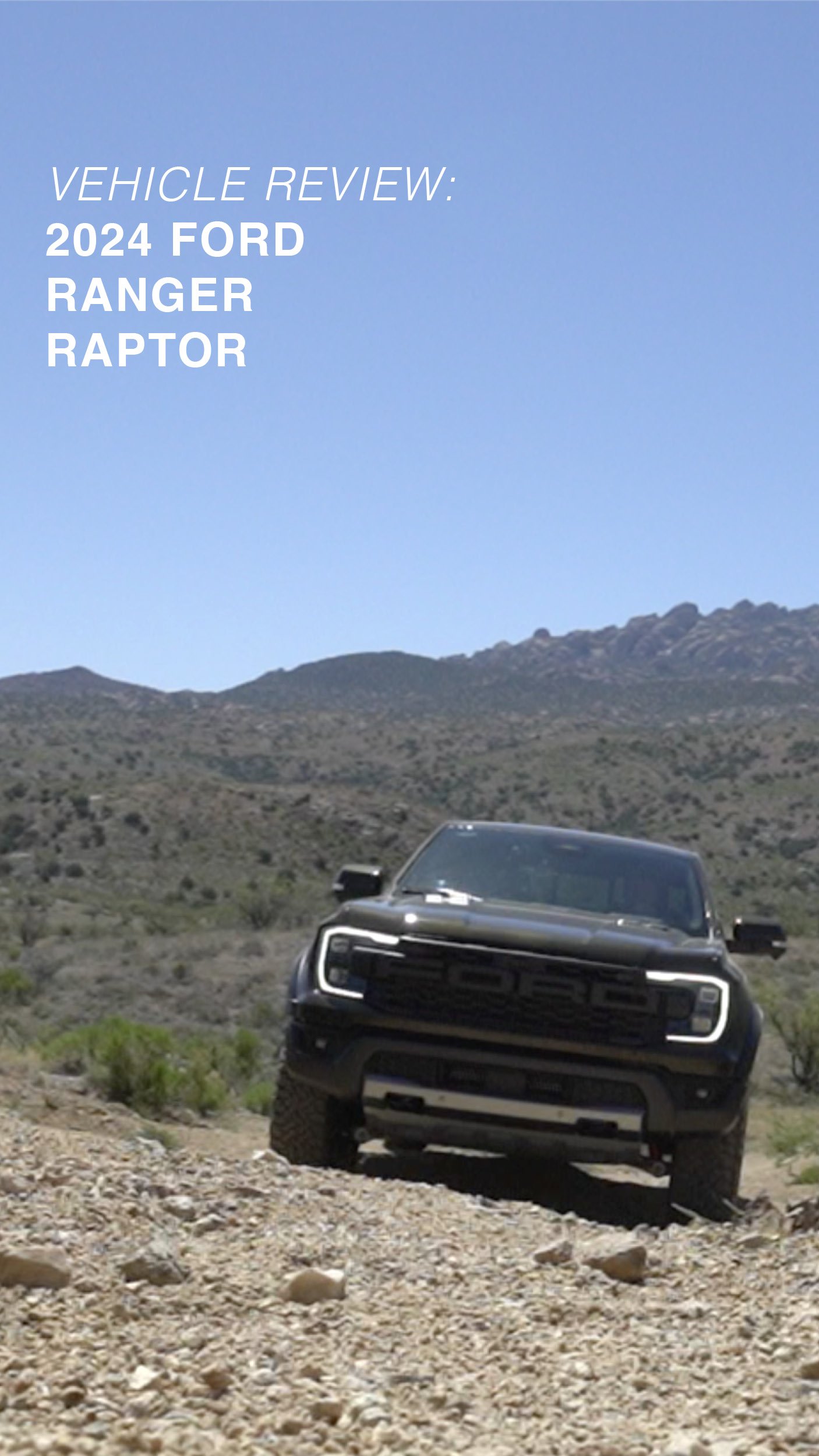
2024 Ford Ranger Raptor—a powerful and surprisingly excellent overland vehicle; Jonathan will explain why he didn’t want to send this one back.
White Paper (in-depth consumer guide): Binoculars
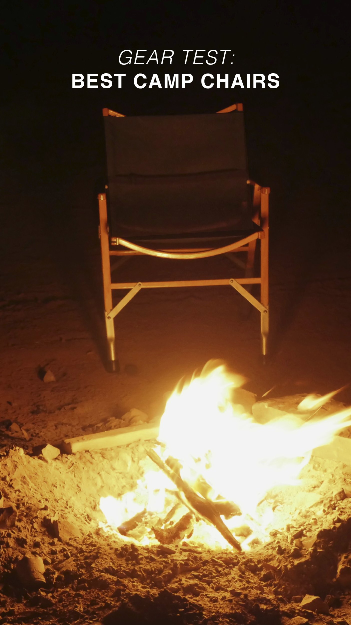
Equipped: Best Camp Chair
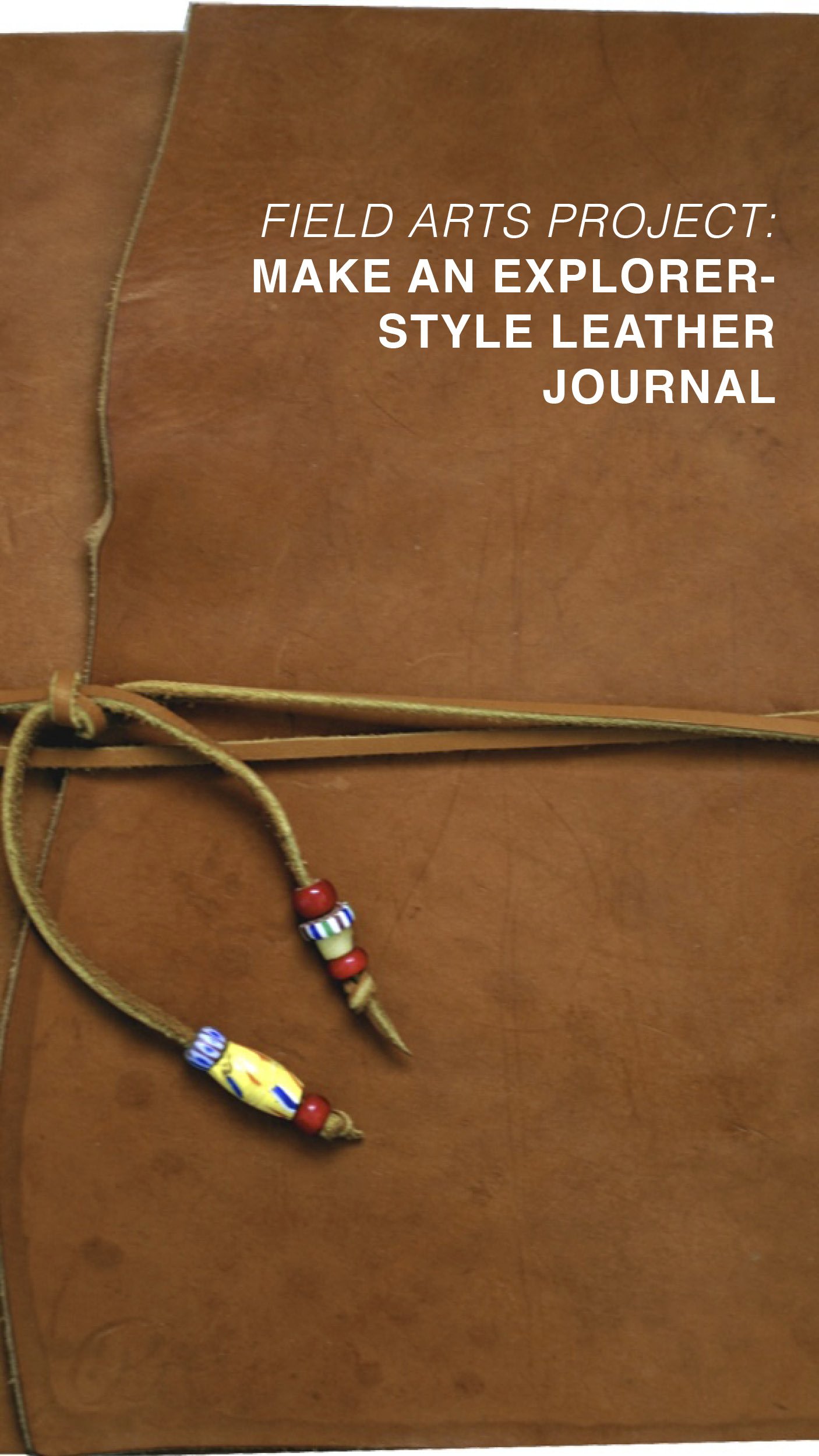
Field Arts project: Template and instructions to make a timeless Lewis and Clark style leather field journal
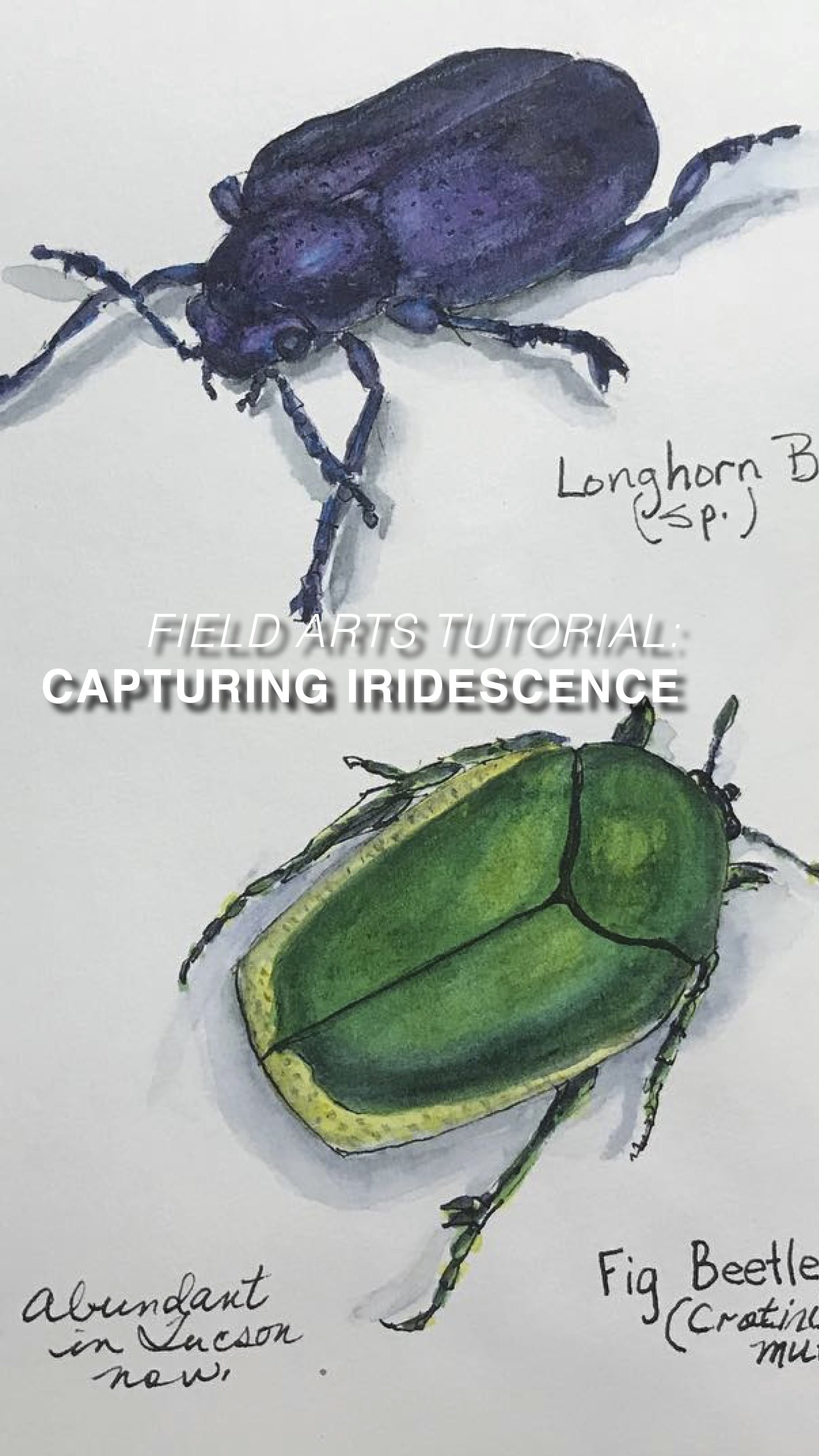
Field Arts Tutorial: Iridescence with watercolor
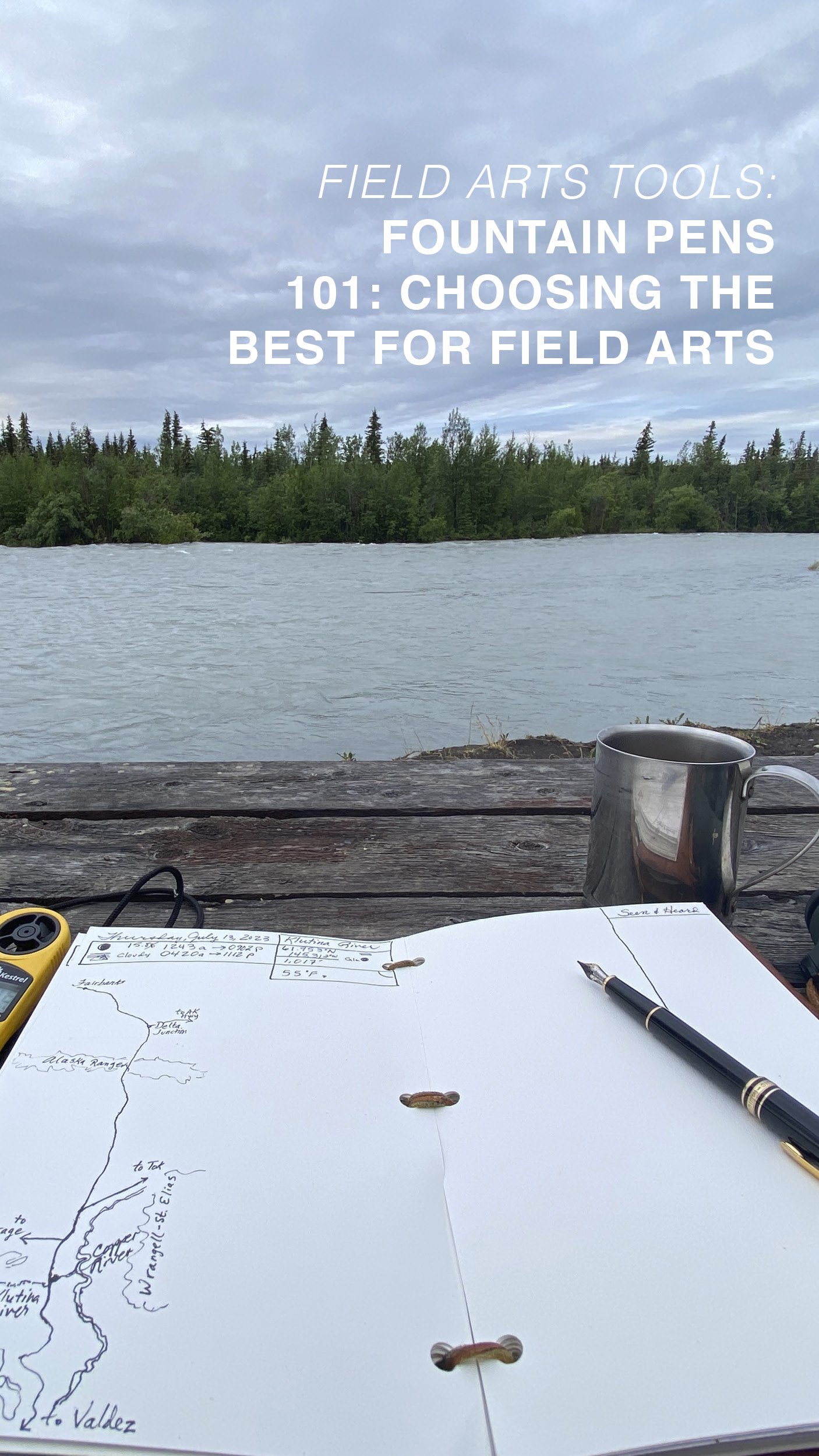
Field Arts Feature: Fountain Pens 101
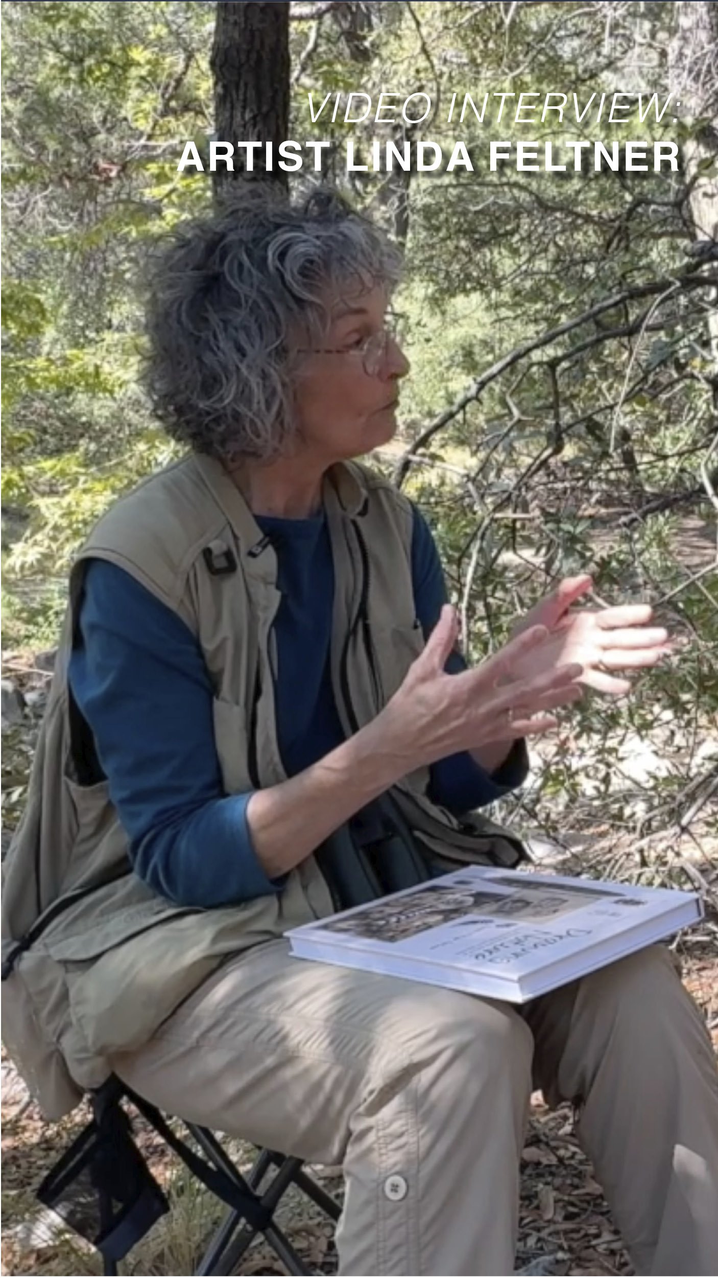
Video content: Field Arts Interview with Linda Feltner, who has a new book, Drawing Nature: the creative process of an artist, illustrator, and naturalist
Arts and Letters: The Moment Collectors: Asia
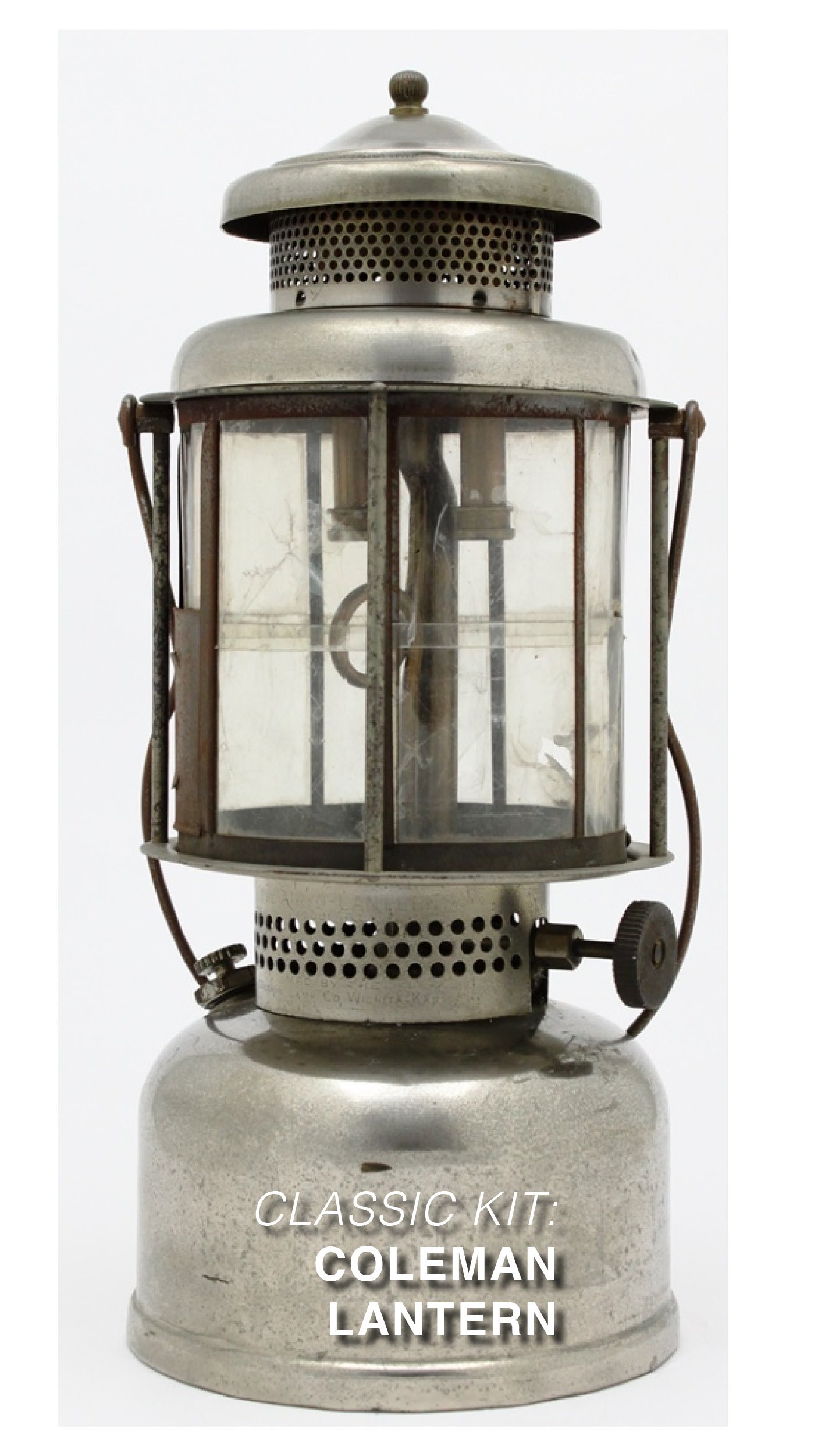
Classic Kit: The Coleman Lantern
Victualling Video: Stovetop Pizza (with a secret weapon)
and more!
Sample Content (Partial Content)
from Volume 1, Number 1 — Print issue (July 2024 publication date):

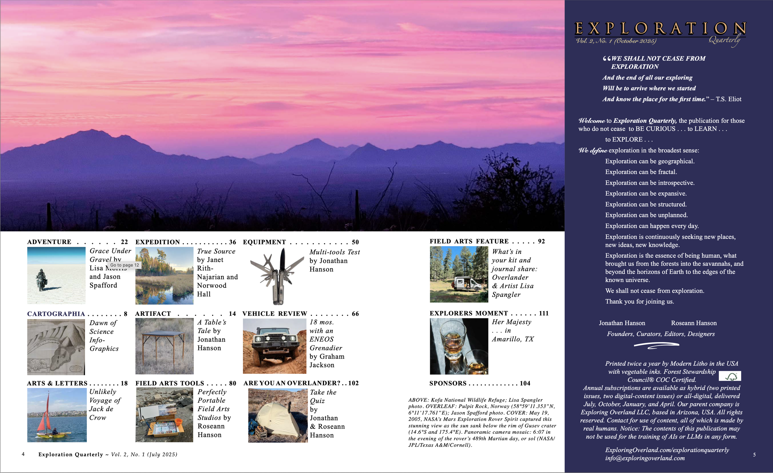
What is EXPLORATION?
Exploration can be geographical
Exploration can be fractal
Exploration can be introspective
Exploration can be expansive
Exploration can be structured
Exploration can be unplanned
Exploration can happen every day
Exploration is continuously seeking new places, new ideas, new knowledge.
Exploration is the essence of being human, what brought us from the forests into the savannah, and beyond the horizons of earth and to the edges of the known universe.
We shall not cease EXPLORATION
JOIN US.
<<<<<<<<<<<<<<<<<<<<>>>>>>>>>>>>>>>>>>>>>>